Camino Francés – Camino de Santiago route description
Camino Frances is the most popular variant of the pilgrimage route to Santiago de Compostela. The route begins in the French Pyrenees in the town of Saint-Jean-Pied-De-Port (SJPDP). The length of the route to Santiago de Compostela is approximately 779 kilometers (the official distance is given by the Pilgrim’s Office in Santiago, for the remaining distances I am based on the distances provided on the gronze.com website).
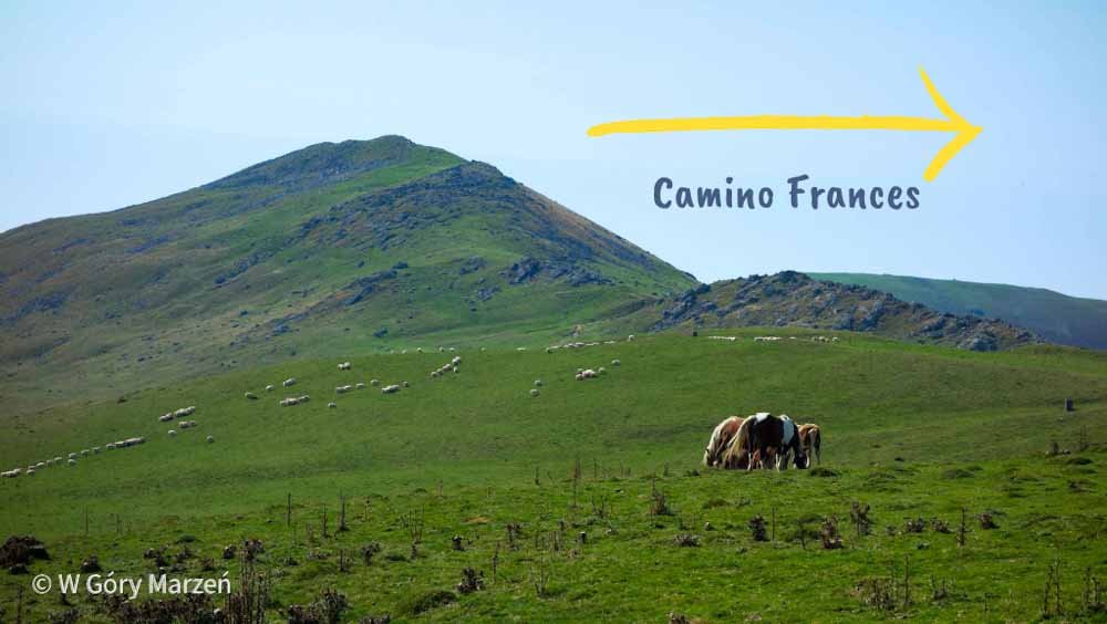
Camino Frances runs through 4 provinces of Spain: Navarre, La Rioja, Castile and Leon and Galicia, where Santiago de Compostela is located. Each region is distinguished by something different. In Navarre, with its capital Pamplona, the route passes through beautiful mountains and forests. La Rioja, with its capital Logroño, is famous for the production of wine of the Rioja denomination. Castilla y León is Spain’s largest autonomous community. It is here that we have to cross the Meseta Desert, located between the cities of Burgos and León. The last region where mountains and greenery greet us again is Galicia.
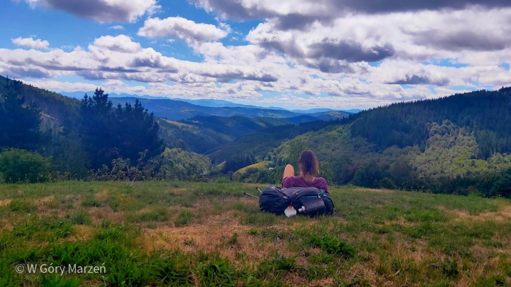
I chose the French road (Camino Frances) as my second Camino de Santiago (the first was Camino Primitivo, which you can read about in this post, and Camino de Fisterra y Muxía here, and the Camino Portugues de la Costa). I started the expedition in the second half of August 2021. It took me 33 days to complete the Camino Frances route.
Below the first part of the Camino Frances description: the route from Saint-Jean-Pied-de-Port to Burgos.
Description of useful information and tips on how to choose the best route for you in this post about Camino de Santiago.
Saint-Jean-Pied-De-Port – travel from Poland
I start my expedition by reaching SJPDP from Poland. I choose the option of a flight to France, to the city of Bordeaux from Krakow. As my arrival is around 5 pm and I won’t have time to get to SJPDP that day, I decide to stay in Bordoux for one night and explore the city. The next day I go by bus (Flixbus) from Bordeaux to Bayonne, and then I take the train from Bayonne to Saint-Jean-Pied-De-Port. I am lucky because the bus was delayed by 15 minutes and I only had 20 minutes to change. Running from the stop, I get on the train at the last minute before departure.
You can find the train schedule and purchase of tickets on the website of the French carrier SNCF here. In summer, the trains run 3-4 times a day and the ticket price varies between € 5 and € 10.


Saint-Jean-Pied-De-Port – Roncevalles
The first part of the route from France to Spain runs through the Pyrenees and is known as the most beautiful and at the same time the most demanding stage on the Camino Frances. We have two routes to choose from. Napoleon’s Road (Ruta de Napoleón) recommended as the summer option (from April 1 to October 31) and the road through Valcaros (mandatory option from November 1 to March 31).
Starting in mid-August, I chose the Ruta de Napoleón route. We start the road in Saint-Jean-Pied-De-Port at 172m above sea level and we have to cover 1,258 meters of elevation on the first day. The highest point is on the Collado de Lepoeder pass (1430m above sea level) already in Spain. Then we descend 485 meters to Roncesvalles.
Passage through the Pyrenees
I leave SJPDP around 7:15 am. The route begins with a fairly steep asphalt road. We have 7.5 kilometers to the first (and last) shelter on the route and about 640 meters up. Although at times it is really steep, the journey is made more pleasant by talking to the newly met pilgrims. After about 2 hours, I reach the Orisson refugee, where I eat breakfast and drink coffee. Apparently there is a beautiful vantage point here, but on that day everything is covered with clouds. I fill the bottle with water from the spring, because another fountain with drinking water is only in Spain. After resting, I continue up the hill. The route is covered with asphalt on the French side almost to the border with Spain.


PASSING THE FRENCH-SPANISH BORDER IN PYRENEES
After a few kilometers, the clouds begin to thin out. As you gain altitude, the peaks are revealed and I can admire the beautiful phenomenon of the sea of clouds ☺️ The route is gentler here, sheep and horses graze in the fields, and the beautiful views compensate for the effort. Around 12:30 pm, I reach to the French-Spanish border. There is a memorial stone on which it says that Santiago de Compostela is still 765 kilometers away. Besides, there are no signs or checks. Another spring with water is also located here.
I move on to Roncesvalles. A few kilometers in front of the shelter, we have a choice of two routes: a very steep forest with crumbling stones or a slightly longer but gentle asphalt road. I chose the mild option, which was a great option (also recommended by other people met on the trail). Along with lowering the altitude, I entered the clouds again and the visibility fell to a few meters. Sometimes only the bells of horses grazing were heard. Amazing experience when you walk through a thick fog and suddenly a herd of horses is on the road.


I got to the albergue in Roncesvalles around 3:30 pm, also the whole tour took about 8 hours. The trail is 24.2 kilometers long. On the route, I got a patent from one of the pilgrims, when we are scared by the road in the mountains with a heavy backpack, when we are not used to hiking yet, we can send it to the albergue in Roncesvalles for the first stage.
The Roncesvalles albergue is located in a monastery. We can buy a place in advance on the website (then we have access to the renovated part) – I recommend this option or come to the place and count on a free place. Apart from the albergue, there is one hotel and two restaurants in the village, there are no shops, so the only option to dine is in restaurants or to buy dinner in the albergue.
Roncesvalles – Pamplona
After passing the first stage of Camino Frances through the Pyrenees to the first big city of Pamplona (Spanish Pamplona) from Roncesvalles we have about 41.8 kilometers. The route is still mountainous and very green. A large part is the road through beautiful forests. The most popular option is to divide the route into two sections, with an overnight stay in Zubiri. It is good to book accommodation there in advance, as the offer is quite poor. I know a few people who had to walk a few (or even a dozen) kilometers away, because there were no more places in Albergues (this was mainly due to the reduction in the number of beds to 30% due to the pandemic).


Pamplona (bask. Iruña) is the capital of the Navarre province. The city is known for the Sanfermines festival, where bulls are released into the city streets and volunteers flee from them. Pamplona is located in the Basque Country, so on the streets we can expect subtitles in two languages – Spanish and Basque. There are plenty of bars and restaurants in Pamplona. It is a typical student city. As part of the tour, we can visit the local cathedral and the cathedral museum.


Pamplona – Logroño
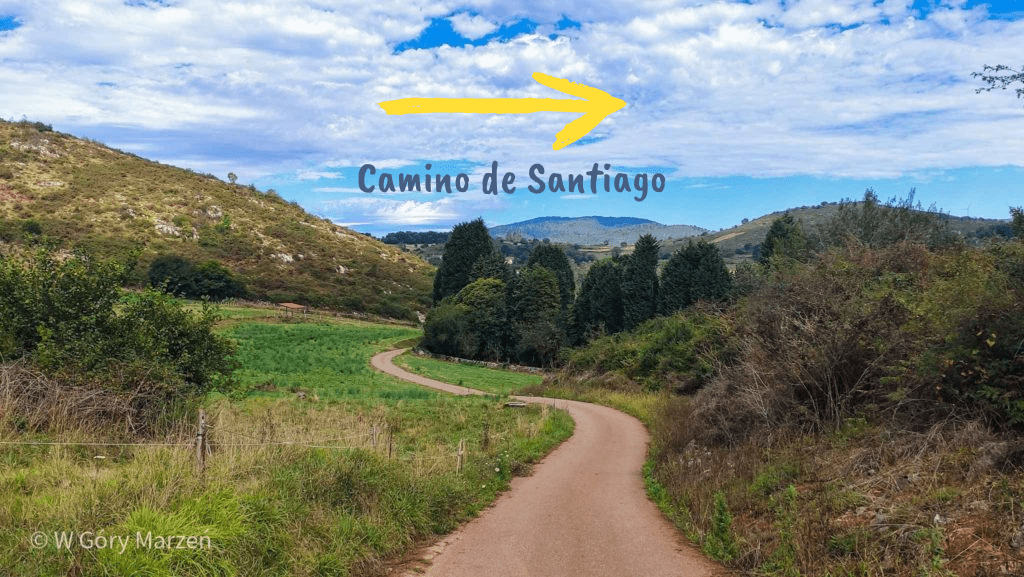
The route from Pamplona to Logroño is about 95 kilometers long and usually takes 4 days. We slowly leave the forest and mountain areas and enter the areas covered with vines. On the route between the capitals of two provinces, we pass several interesting towns. There are many accommodation options in this section, so we do not have to stick to the guide.
Puente la Reina is the place where two Camino de Santiago routes meet – Camino Frances from SJPDP and Camino Aragonés from Somport on the border with Franca. There is a beautiful Romanesque bridge over the Arga River.
Estella is another historic town with a beautiful old town. On the route just outside the city, there is one of the most interesting attractions – a fountain of wine !. We can taste the pilgrim’s drink and continue happily on the way.
- Pamplona – Puente la Reina (23,9 km)
- Puente la Reina – Estella (21,6 km)
- Estella – Los Arcos (21,3 km)
- Los Arcos – Logroño (27,6 km)


Logroño
Logroño is the capital of the province of La Rioja known for its wine production. The most famous street in the city, full of small tapas and wine bars is Calle Laurel. This is a must see when visiting Logroño!
During my Camino I met a lot of people who passed Camino Frances divided into 1 or 2 week stages. The end of the first stage, after about a week of travel, was in Logroño. That is why I said goodbye to a large number of people I met at the beginning of Camino here.


Logroño – Burgos
The next section runs from Logroño to Burgos and measures approximately 120 kilometers. The average time needed to complete it is 5 days. Here on the route I made a few mistakes, which resulted in having to take a bus from Santo Domingo de la Calzada to Burgos. The section from Logroño to Najera may seem long, but the route is easy and you can easily walk these 29 kilometers from Logroño.
An interesting town on the route is Santo Domingo de la Calzada. A miracle legend is associated with it: a rooster and a hen, which are now kept alive in the church.
- Logroño – Nájera (29 km)
- Nájera – Santo Domingo de la Calzada (20,7 km)
- Santo Domingo de la Calzada – Belorado (22 km)
- Belorado – San Juan de Ortega (23,9 km)
- San Juan de Ortega – Burgos (25,8 km)


Burgos
Burgos is a cool city, full of interesting sights and attractions. It’s a good place for an extra day of rest and sightseeing if we have a little more time. I chose this option. A place worth visiting is the Cathedral of Burgos, which is included in the UNESCO World Heritage List. Although after visiting it inside (and visiting a lot of cathedrals in Spain), I must say that from the outside it makes a much bigger impression. In Burgos there is also the Museum of Human Evolution, where there are remains found in the excavations of Atapuerca (near Burgos).


In Burgos, many people also finish the first part of the Camino Frances trek (approx. 12 days of walking, a good option when we have 2 weeks of vacation). A lot of people are also starting the Camino in Burgos. That’s why for me it was a moment to meet many new friends on the road.
This is the first part of the Camino Frances description. More parts coming soon!
If you find this post useful and would like to support my efforts, you can buy me a cup of coffee by clicking on the link below. Thank you!

Zuzanna
Hi! My name is Zuzanna, I am from Poland. I love traveling, hiking and doing yoga. Spain is my favorite destination, I walked several Camino de Santiago roads there. I created this blog to share my travel experiences.

You May Also Like
Camino de Santiago – how to prepare, what to take
Fisterra y Muxía – extension of the Camino de Santiago