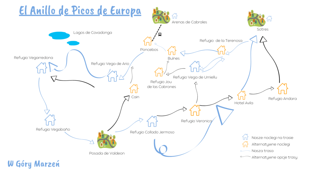
El Anillo de Picos de Europa – itinerary, accommodation, description
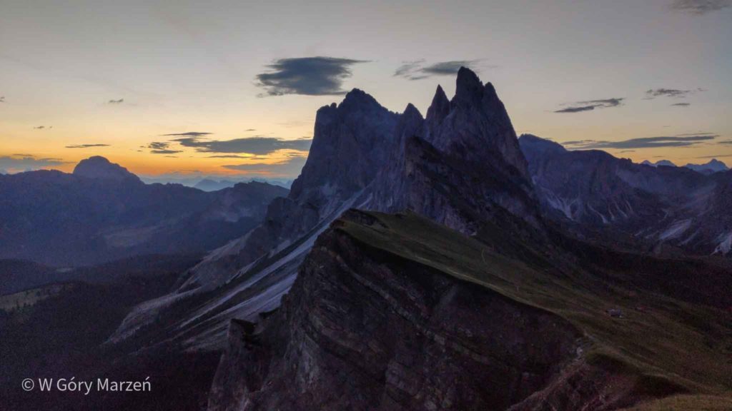
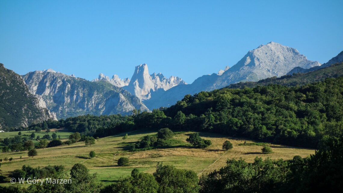
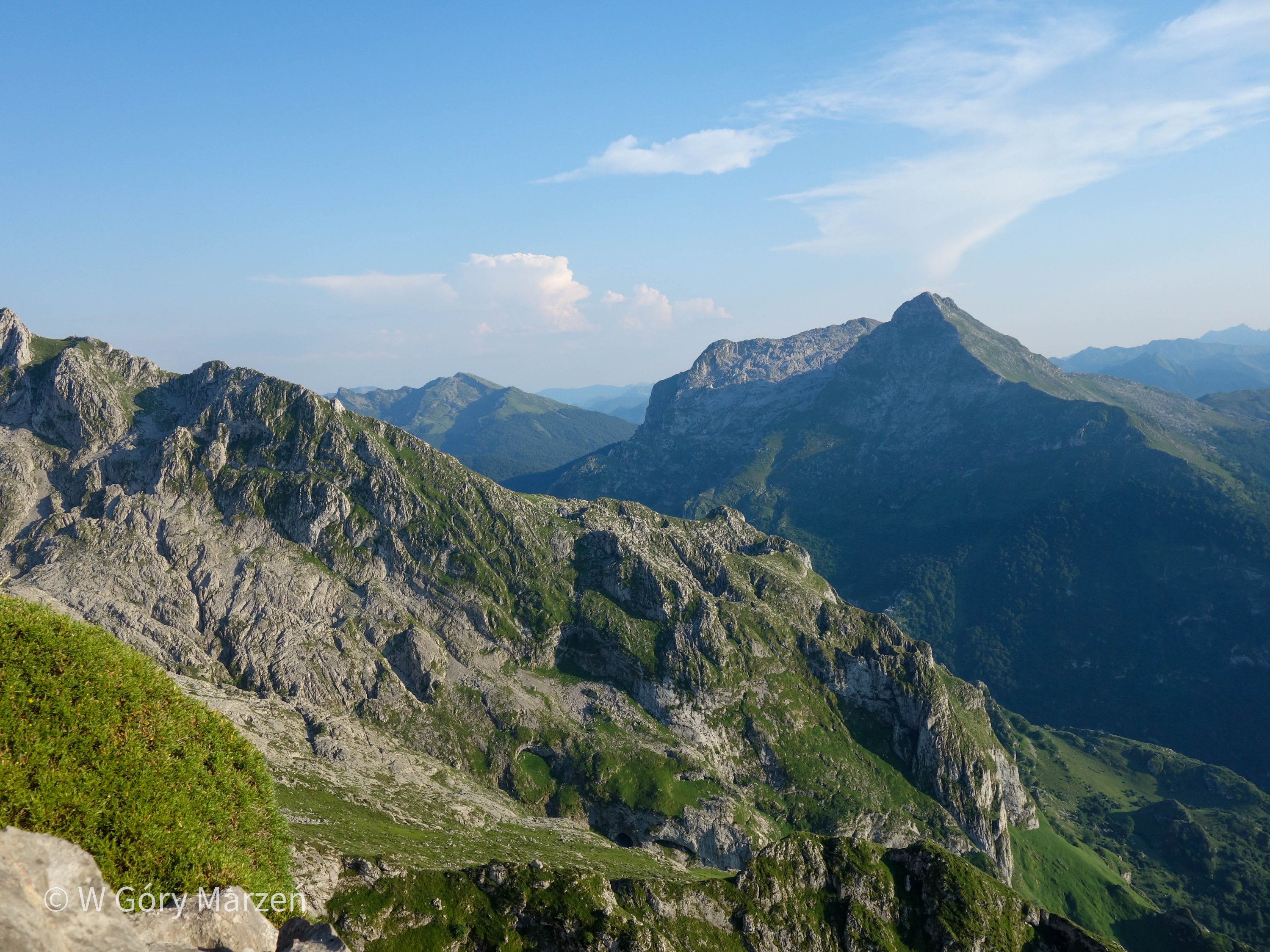
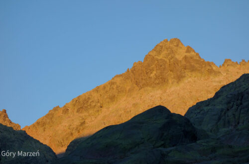
The Picos de Europa are some of Spain’s most beautiful mountains, located in the Cantabrian Mountains. They are located in the north of the countries, on the border of three autonomous communities: Asturias, Cantabria and Castile and Leon.
El Anillo de Picos de Europa, or the loop around the Picos de Europa
In the Picos de Europa National Park, we can do a multi-day trek called El Anillo de Picos de Europa (the Picos de Europa ring), choosing the length of the route according to the amount of time and our condition. There are 3 main routes to choose from:
- Vindio (west-central route, 4 stages, 63 kilometers, total elevation gain 3900m, difficulty level: medium)
- Extrem (west-central route, 7 stages, 82 kilometers, total elevation 7050m, difficulty level: high)
- 3 Macizos (west-central-east route, 9 stages, 110 kilometers, total elevation gain 9350m, difficulty level: high*)
*difficulty level according to elanillodepicos.com.
Which route to take?
We choose the 7-day Extrem route to start with and plan to go through it in 6 days, and visit the Lagos de Covadonga (Covadonga Lakes) on the last day. On the trail we decide to change the route to 3 Macizos (without a single refuge along the way) and go through it too in 7 days. The change is mainly due to the fact that already on the 2nd day we modify a bit the route and go through those lakes.
The best way is to assess our strenght and time we have to do the trekking.
Where to start the route of el Anillo de Picos de Europa?
We can start the loop around the Picos de Europa at any point or refugee along the route. We can choose one of the surrounding towns as a starting point:
- Poncebos (from Arenas de Cabrales)
- Covadonga Lakes (from Cangas de Onis)
- Posada de Valdeon
- Fuente Dé
- Sotres (from Arenas de Cabrales)
We plan to reach the Picos de Europa by public transportation. When I did some preliminary research, the best option for getting there from Madrid is to take a bus to Oviedo and then to the town of Arenas de Cabrales, where we book our first hotel accommodation. We arrive in Poncebos, where the trail begins, by local bus from Arenas de Cabrales the next morning.
When to go to the Picos de Europa?
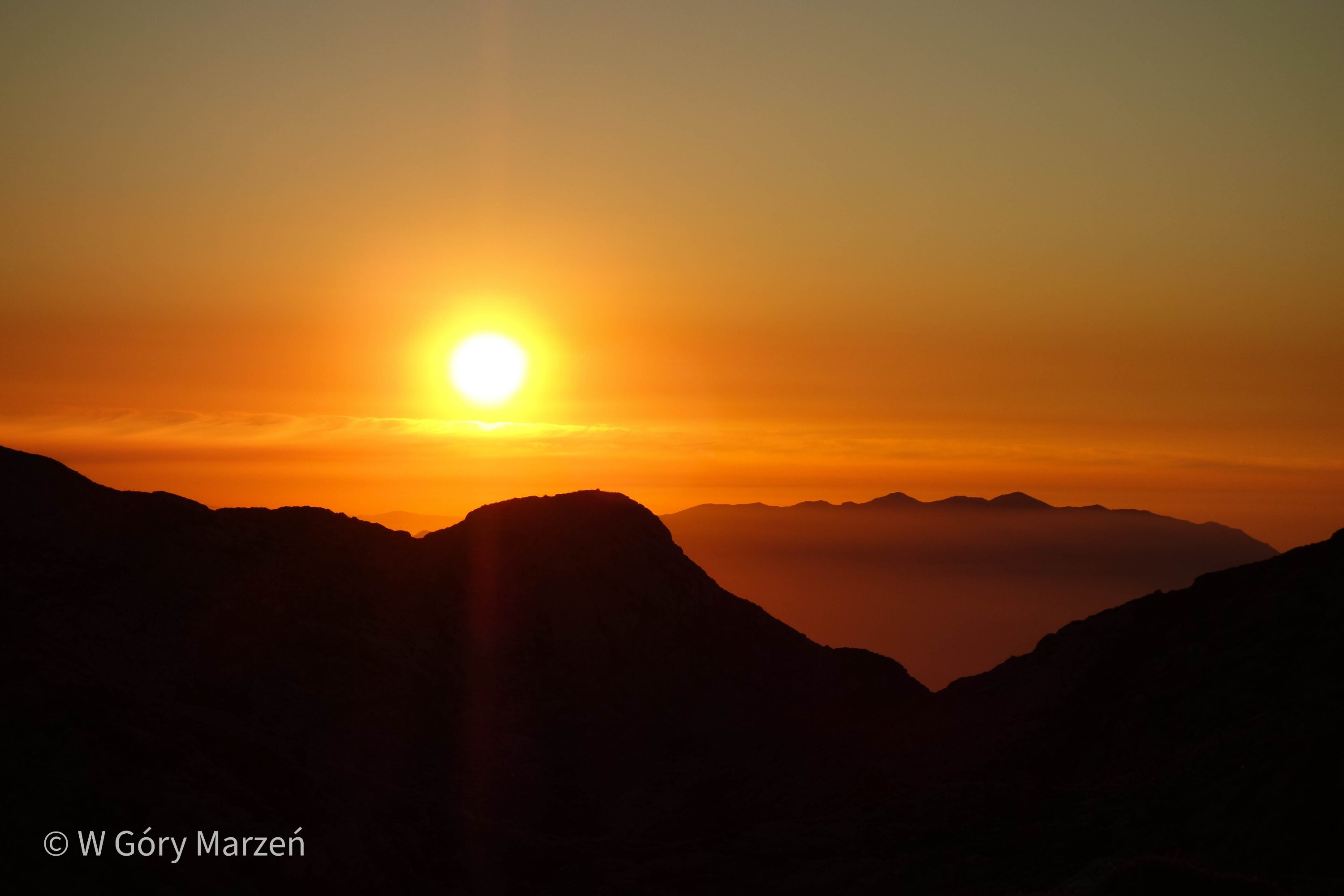
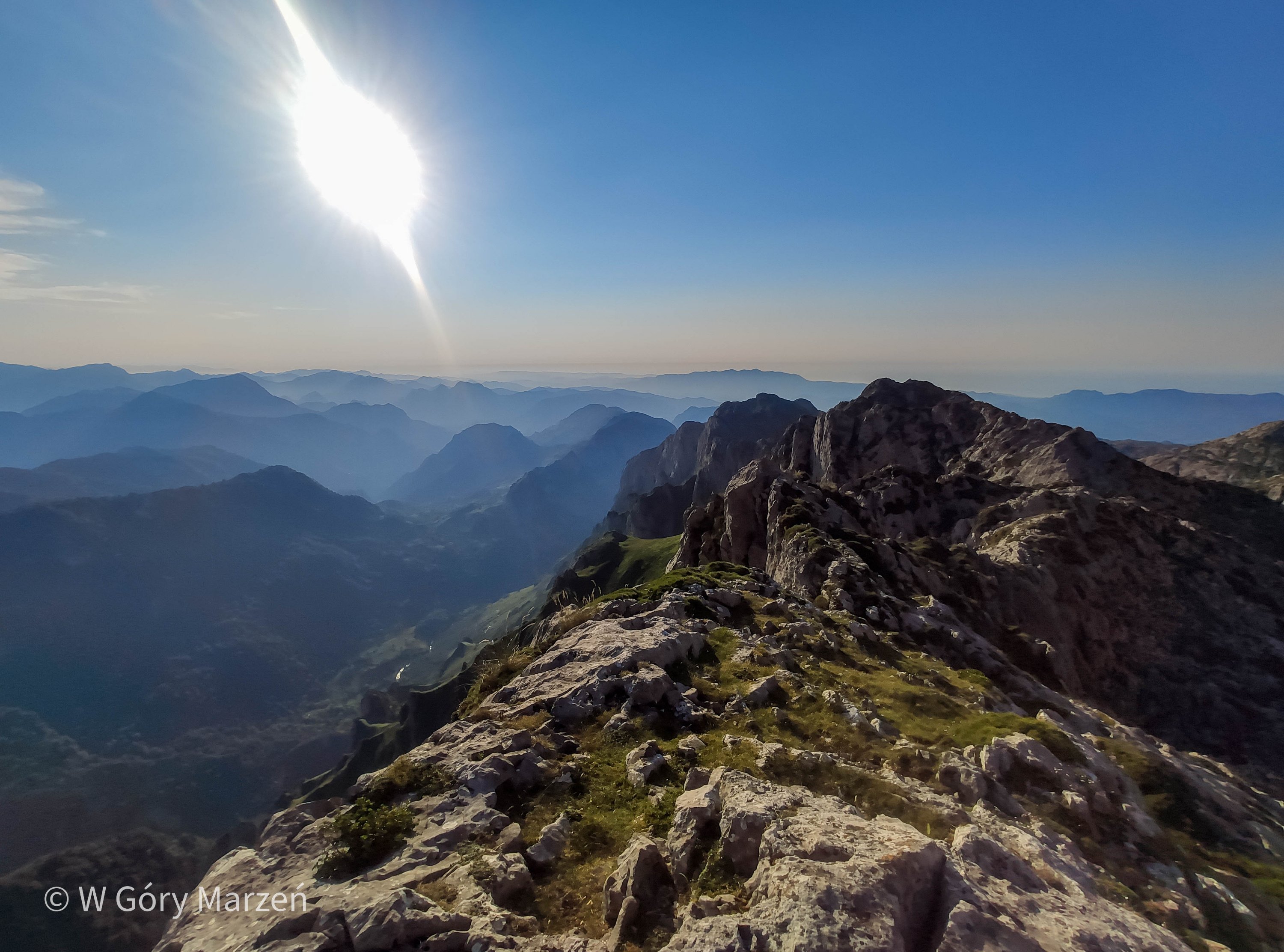
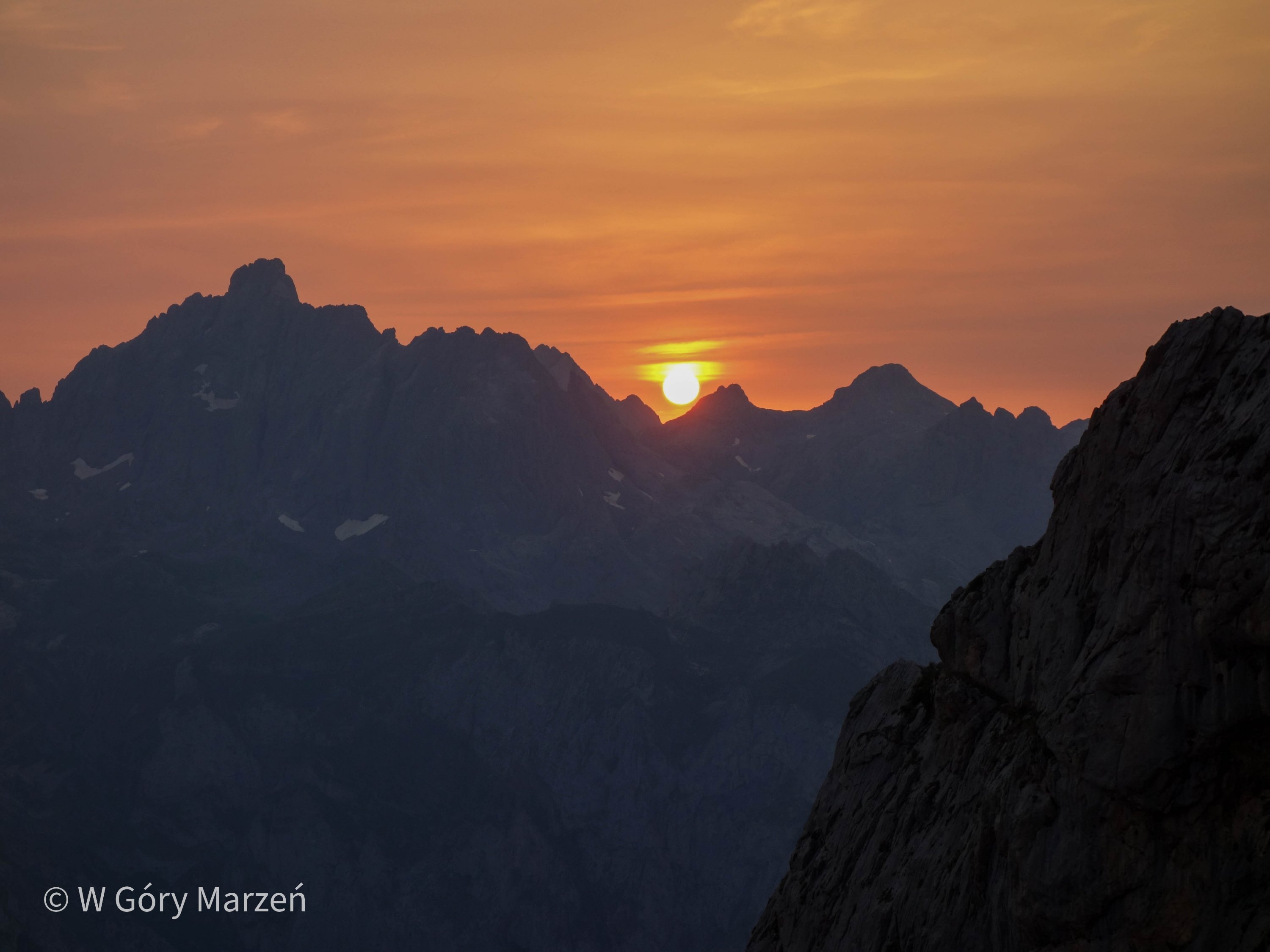
It’s best to go to the Picos de Europa in early summer, when there is no more snow, or in early autumn. The north of Spain is known for its rainy weather, which is why it is such a green part of the country. In July and August, the weather is rather stable and there is also a high tourist season, so accommodations are good to book in advance. We went trekking in mid-July, which had the advantage of no rain. The only downside, and also the hardest aspect of the whole trip, was the lack of clouds, the heat and the skin-burning sun.
El Anillo de Picos de Europa – itinerary
Due to the best access by public transportation, we started the route in Poncebos. It took us 7 days to walk about 115 kilometers. Our route in a nutshell:
- Poncebos – Ruta de Cares – Refugio de Ario
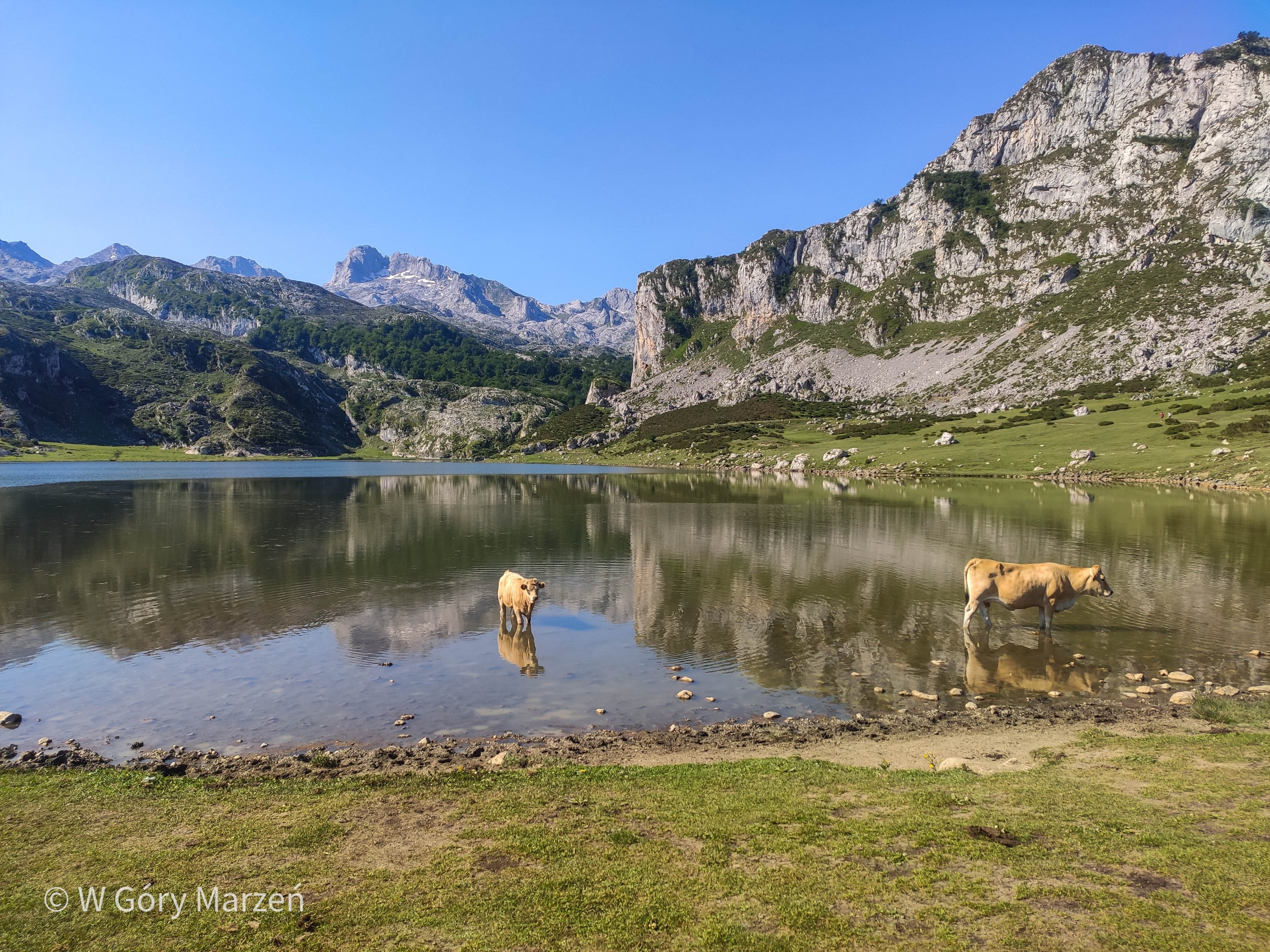
- Refugio de Ario – Lagos de Covadonga – Refugio Vegarredonda
- Refugio Vegarredonda – Refugio Vegabaño
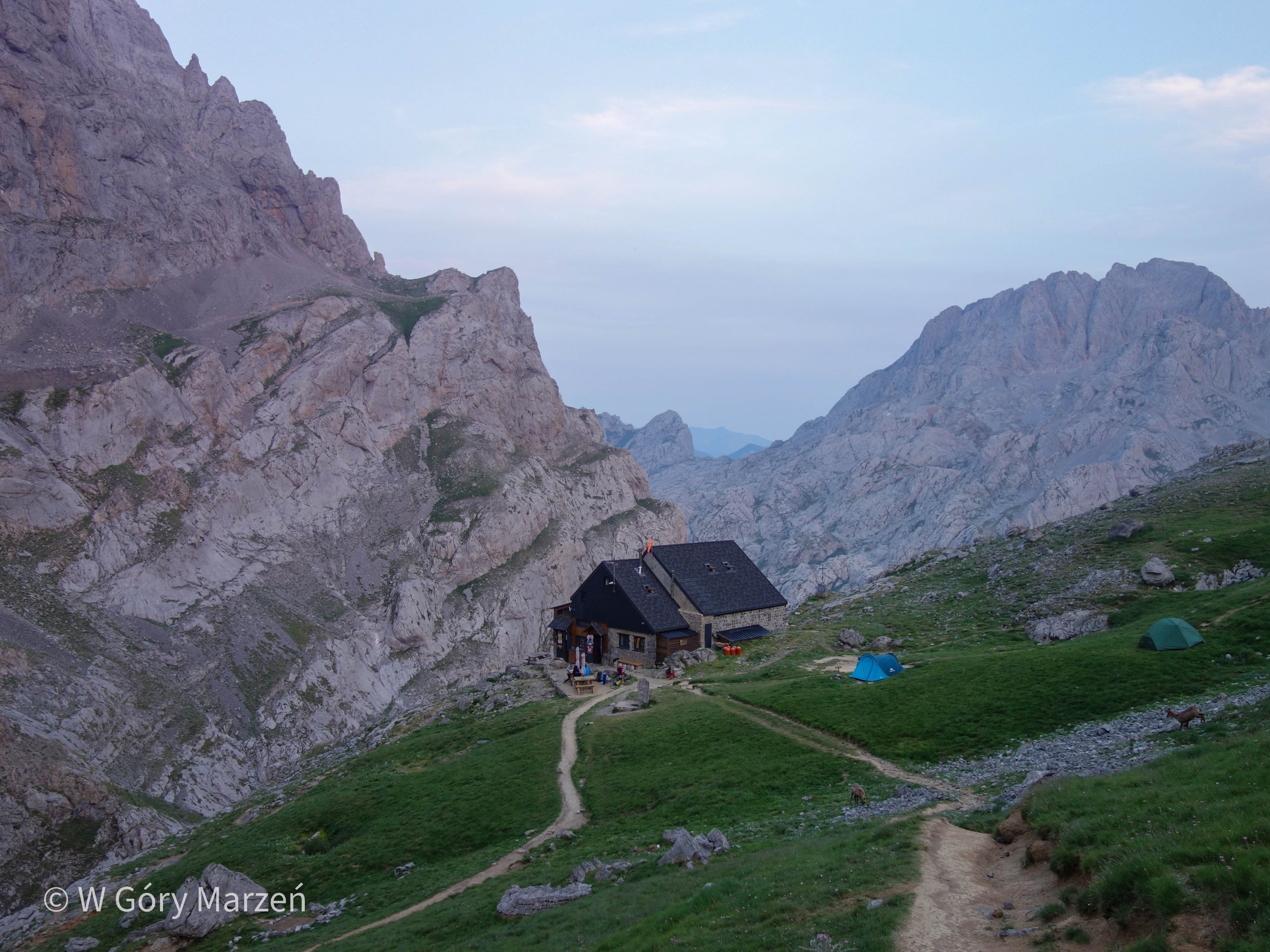
- Refugio Vegabaño – Refugio Collado Jermoso
- Refugio Collado Jermoso – Sotres
- Sotres – Refugio Vega de Urriellu
- Refugio Vega de Urriellu – Poncebos
Below is a detailed plan with distances and elevations (from the various wikiloc sources I used along the route) and our real walking time (with breaks included). Except for day one, we started the route in the morning around 7:00-7:30 am.
Day 1: Poncebos – Refugio de Ario
The route from Poncebos via a scenic path named Ruta del Cares.
Distance: 14 km
Overrun: 1464m up, 183m down
Walking time: 9.5h
Overnight: Refugio de Ario – 17EUR/os
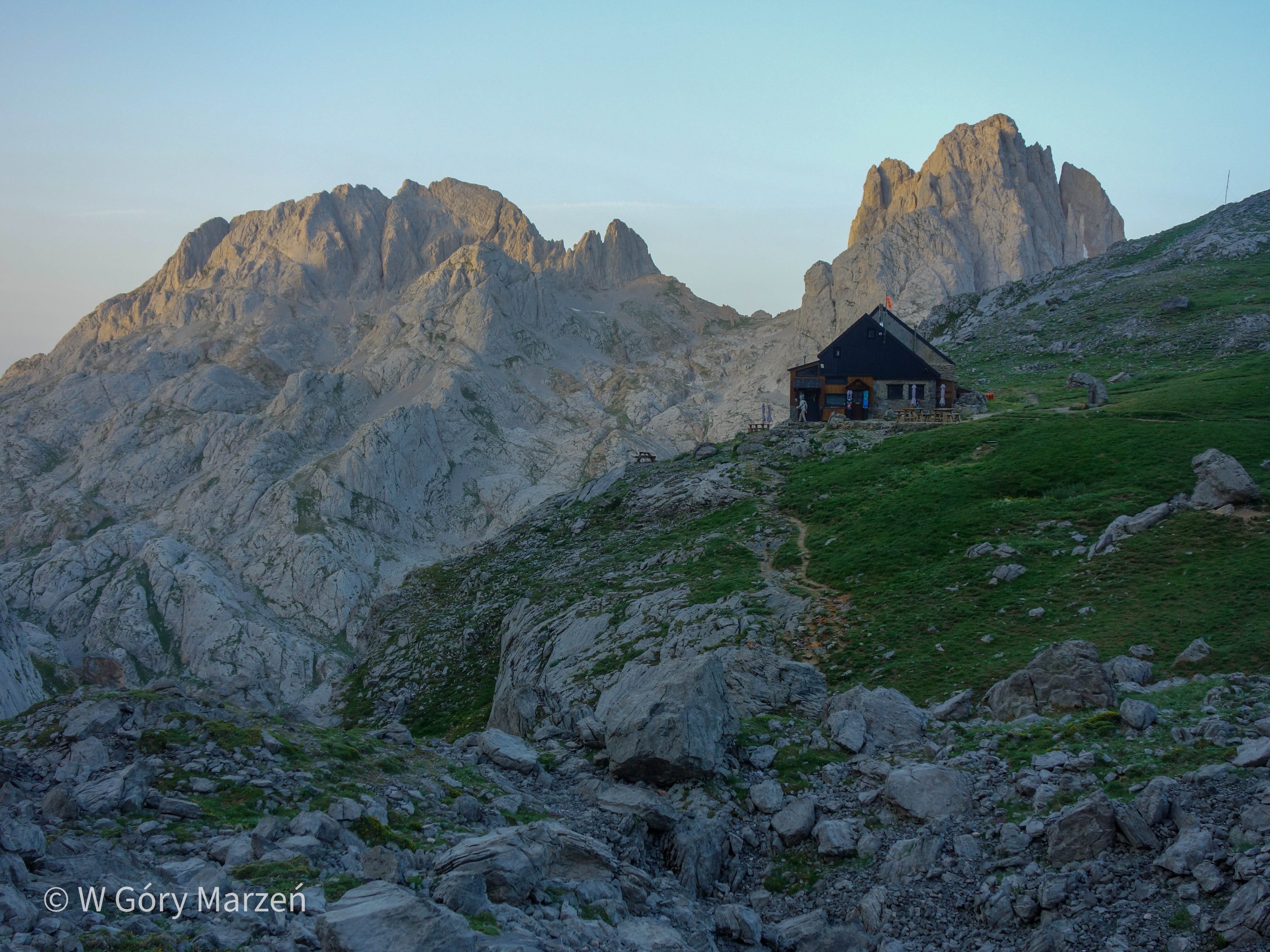
Day 2: Refugio de Ario – Refugio Vegarredonda
Route through the Covadonga lakes.
Distance: 15.5 km
Overrun: 563m up, 590m down
Walking time: 7,5h
Overnight stay: Refugio Vegarredona – €17/person
In the evening, we additionally went to the Mirador de Ordiales viewpoint (about 3km one way, 300m elevation gain, about 3.5 both ways).
Day 3: Refugio Vegarredonda – Refugio Vegabaño
Distance: 16.8 km
Overrun: 1074m up, 1350m down
Walking time: 10h
Overnight: Refugio Vegabaño – €14.5/person
Day 4: Refugio Vegabaño – Refugio Collado Jermoso
Distance: 19.2 km
Overrun: 1500m up, 872m down
Walking time: 12h
Overnight: Refugio Collado Jermoso – €15.6/person
Day 5: Refugio Collado Jermoso – Sotres
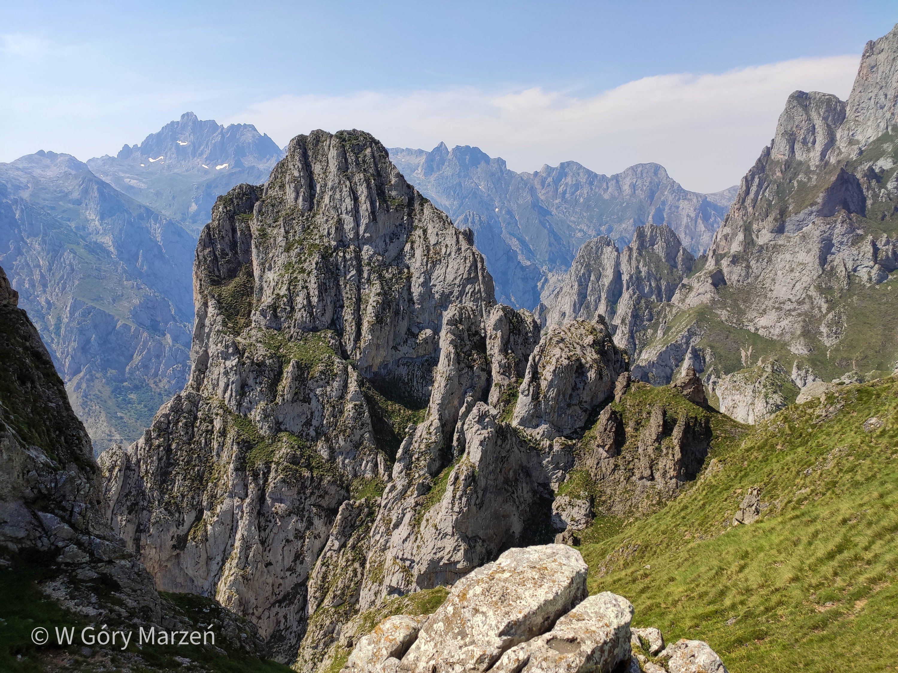
The route via the Collado de las Nieves pass and the Áliva Hotel.
Distance: 19.2 km
Overrun: 620m up, 1715m down
Walking time: 10h
Overnight stay: Hostel Sotres – 20 EUR/person
We had originally intended to go through the Refugio Veronica shelter, but at this time of year the trail didn’t look too trodden and we decided to go around via the Collado de las Nieves pass.
Day 6: Sotres – Refugio Vega de Urriellu
Distance: 10.6 km
Overrun: 1137m up, 348m down
Walking time: 5h
Overnight: Refugio Vega de Urriellu – €17/person
Day 7: Refugio Vega de Urriellu – Poncebos
Route via Pandébano and Bulnes.
Distance: 16.3 km
Overrun: 638m up, 1885m down
Walking time: 6h
Overnight: Arenas de Cabrales
Accommodation – Picos de Europa
Most accommodations along El Anillo de Picos de Europa can be booked on this website. We can also order dinner (served at 8 pm), breakfast and a picnic lunch at the hostels (preferably using the same website right away). The hostels provide comforters and pillows (without pillowcases), also, depending on our convenience, we can bring a sleeping bag or a thin hiking sheet.
At the shelters there are springs with potable water, also we can stock up on water there. In most of the hostels we can additionally buy access to showers (the cost is about 3-5 euros).
Getting to Picos de Europa
We can start the loops around the Picos de Europa at any point and hostel along the route. We choose Poncebos point, where we can easily reach by bus from Arenas de Cabrales. We reach Arenas de Cabrales by Alsa bus from Oviedo (buying a ticket right away with an included transfer in the town of Cangas de Onís).
We can get to Oviedo from Madrid by Alsa bus (tickets can be purchased on this site) or by Renfe train (tickets can be purchased here). We choose the bus, mainly because we get from Madrid to Arenas de Cabrales on one ticket. We leave Madrid from Moncloa station at 8:30am, and arrive in Arenas at 4:20pm.
Cost of the trip
The cost of the trip (calculated without airline tickets, as I live in Madrid) closed at about 385 eur/person. Included are bus travel from Madrid and local transit, 8 nights accommodation and all food.
| Accomodation | 158,85 |
| Shower | 11 |
| Food | 120,2 |
| Buses | 94,03 |
| Total | 384,08 EUR/os |
We cooked our food on a stove during the trip, which significantly reduced costs. We did our shopping while still in Madrid, and replenished further during the trek at a store in Posada de Valdeon. For breakfast we prepared oatmeal with protein nutrition and nuts. During the trek we ate nuts, cookies and protein bars. And for lunch and dinner, pasta with sauce or couscous with dried vegetables. In this way, we had enough for the entire trip with one 410 ml bottle of gas.
If you don’t plan to cook and carry food with you, you can buy a food package at hostels. Usually a 2-course dinner with dessert is served, which costs between 15 and 20 euros. From what I’ve been able to determine, it’s hard to get vegetarian options (that was another reason why we carried a stove with us). Breakfast is usually served on toast or sweet rolls, also not very rich in nutrients. Breakfast usually costs about 5-7 euros. In addition, we can order a picnic, or takeaway sandwich, to eat on the route during the day. We didn’t order food at the hostel, except for an evening beer. If we managed to hit a restaurant or an open refugee on the trail, we ate a tortilla sandwich (bocadillo con tortilla) and drank coffee and cold cola.
Summary of the trip
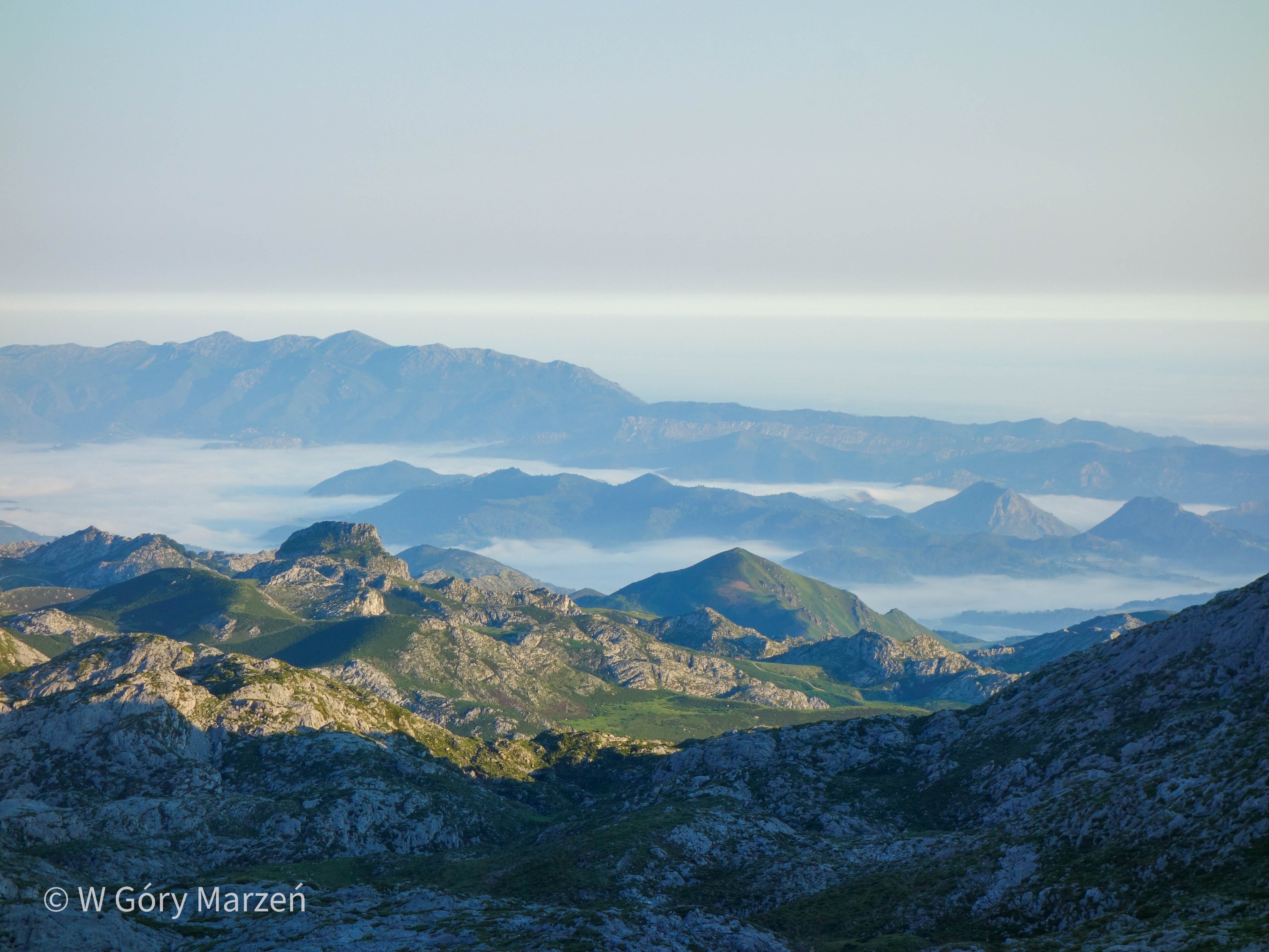
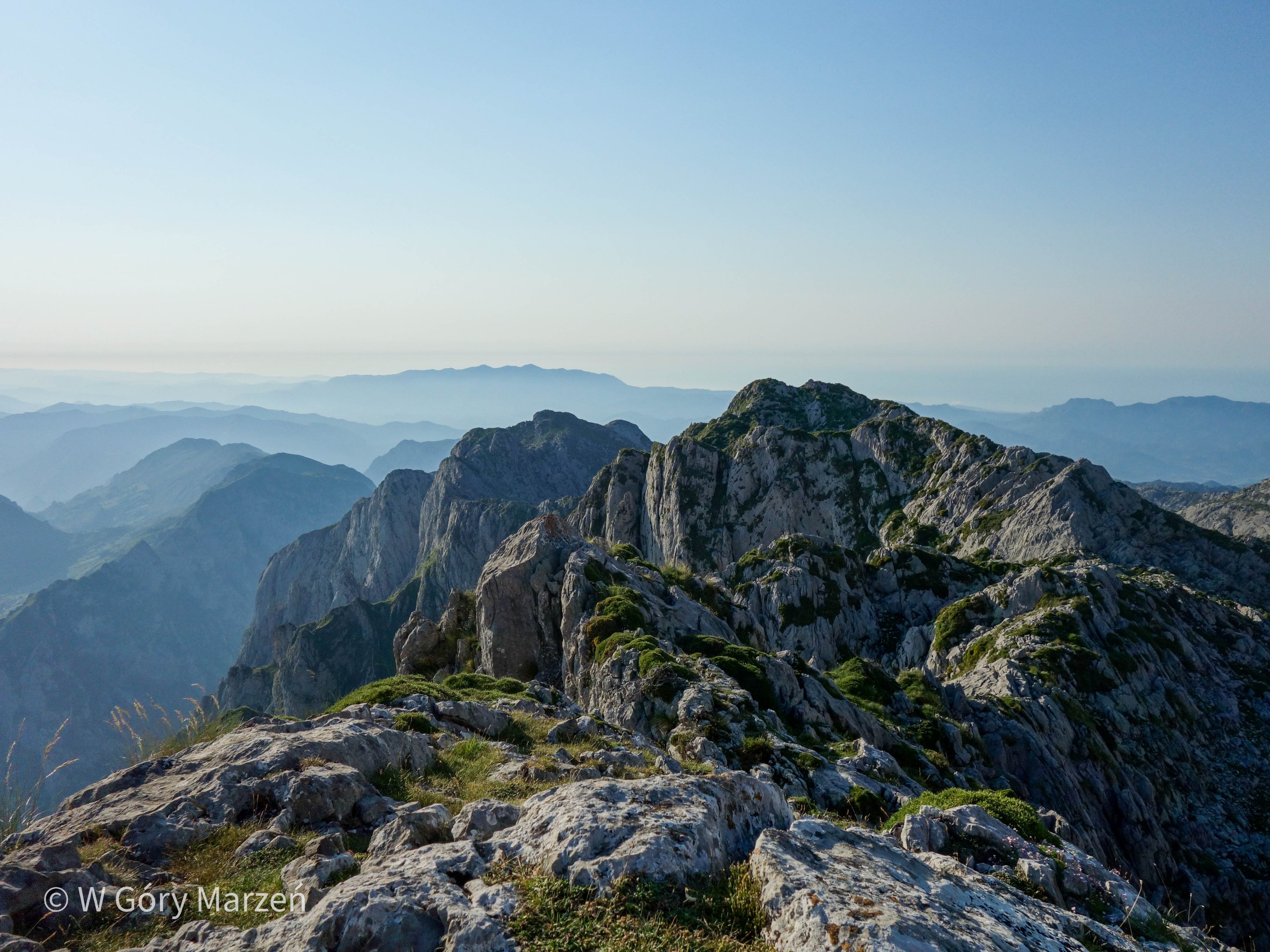
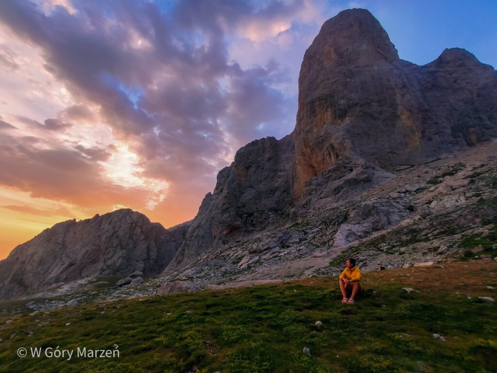
The passage of el Anillo de Picos de Europa was delightful, but also very challenging. It was a wonderful experience to discover new parts of the mountains every day and to be completely unaware of what we would encounter that day. We were most affected by the heat and the sun. On top of that there was a lot of elevation gain, part of the trail very exposed. For me, the hardest section was the approach to the Collado Jermoso hut on the fourth day. The approach in the afternoon, the lack of shade and climbing with a backpack on the walls right next to a several-hundred-meter precipice was quite stressful. However, it was also the most beautiful day for me in terms of views, and the shelter itself is beautifully located.
Before taking the route, it is important to prepare well in terms of fitness. If you have a fear of heights, you can choose a shorter route through the western Picos de Europa massif.
I hope you enjoyed the entry as much as I enjoyed the Picos de Europa mountains.
If you found this post useful and feel like supporting my efforts, you can buy me a coffee by clicking on the link below. Thank you!

Zuzanna
Hi! My name is Zuzanna, I am from Poland. I love traveling, hiking and doing yoga. Spain is my favorite destination, I walked several Camino de Santiago roads there. I created this blog to share my travel experiences.


You May Also Like
Peñalara – the highest peak in the vicinity of Madrid. Sierra de Guadarrama
Almanzor – Sierra de Gredos, way to the highest peak of 2592m