Peñalara – the highest peak in the vicinity of Madrid. Sierra de Guadarrama
Peñalara is the highest peak in the vicinity of Madrid. It is located in the Sierra de Guadarrama mountain range and measures 2428m above seam. In Spain there are plenty of mountain ranges and peaks easily accessible to tourists. The Guadarrama range is only 1.5 hours away by bus or 1 hour by car from Madrid. I went on the trail by road from the Puerto de Cotos stop, going through the summit to the laguna de los Pájaros lake, and then by the road at the laguna de Claveles and Peñalara lakes. The whole route is about 13 kilometers, and the sum of the hills is about 675m.
I went trekking with a friend from Brazil, whom I met in a hostel during my first trip to Madrid. On the spot we are waiting for beautiful views of the Sierra de Guadarrama hills, crossing the ridge and possible rest by the lakes.
Beginning of the trail – Puerto de Cotos – access from Madrid
The trail to the top of Peñalara starts at the stop and parking Lot Puerta de Cotos (1830m above sea above sea). From Madrid we can get there by intercity bus number 691 from the Moncloa bus station. The bus departs from the Isla 2 terminal. We will get to the station by metro line 3 or 6. The timetable of line 691 can be found on the Avanza group website at this link. I went to the mountains in July, then the summer schedule applies and the first bus leaves the station at 8:00.
A one-way ticket from Madrid to Puerto de Cotos costs 5.10 euros and the journey takes about 1.5 hours. We arrive at the place at 9:30. Right at the entrance to the trail there is a free toilet and a restaurant.
Puerto de Cotos – Peñalara
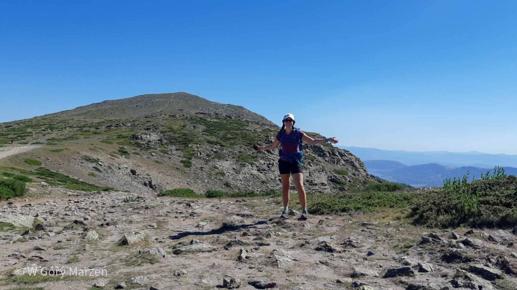
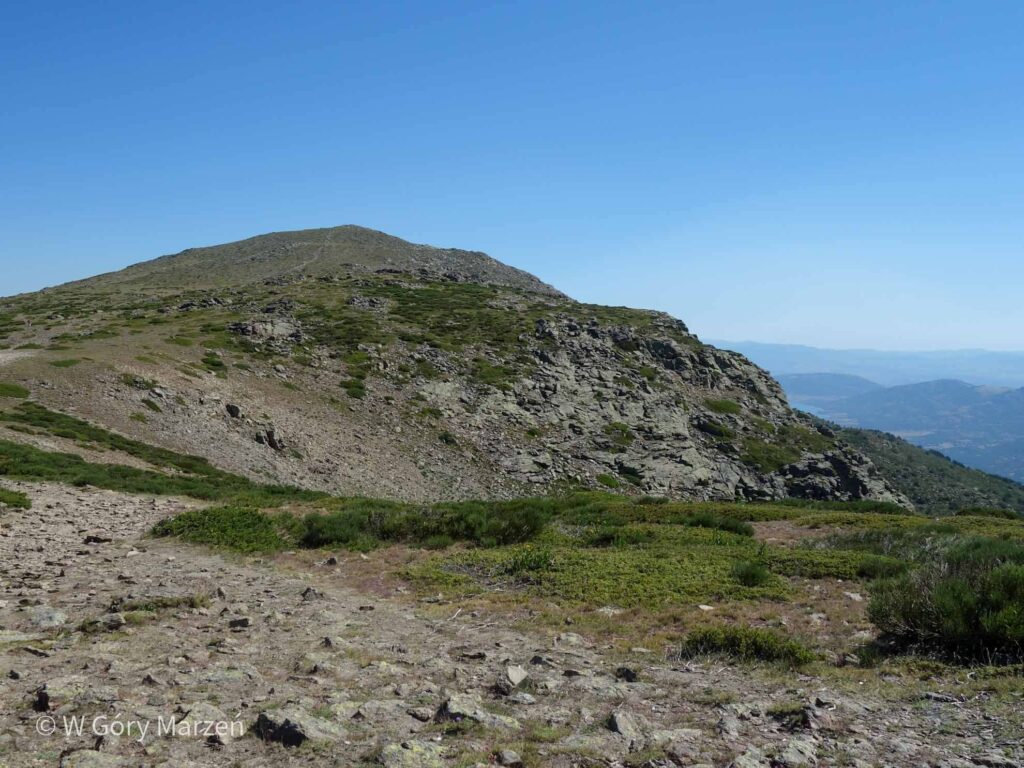
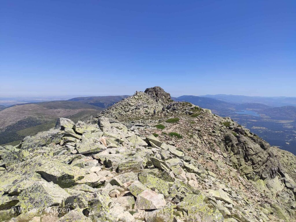
The trail begins with a wide, gently swayed gravel road through a piece of forest. To the summit we have to overcome 5.5 kilometers and about 600m up. After a few hundred meters we leave the forest and pass a fork on the trail around the local lakes. This is a good option if climbing to the top seems to us too much effort. Gradually, we gain height and the views of the surrounding peaks begin. On the way we pass two peaks: Hermana Menor and Hermana Mayor. The whole section to the top takes about 1.5-2 hours and does not cause much difficulty. When we go out on the ridge, a very strong wind begins to blow, which, despite the middle of summer and the scorching sun, effectively cools the air. It is good to take a long-sleeved sweatshirt with you, because it gets cold at the top.
We reach the top of Peñalara around 11:30. Fortunately, just after the summit there is a ledge where you can take shelter from the wind, admire the sights and take a break for breakfast 🙂
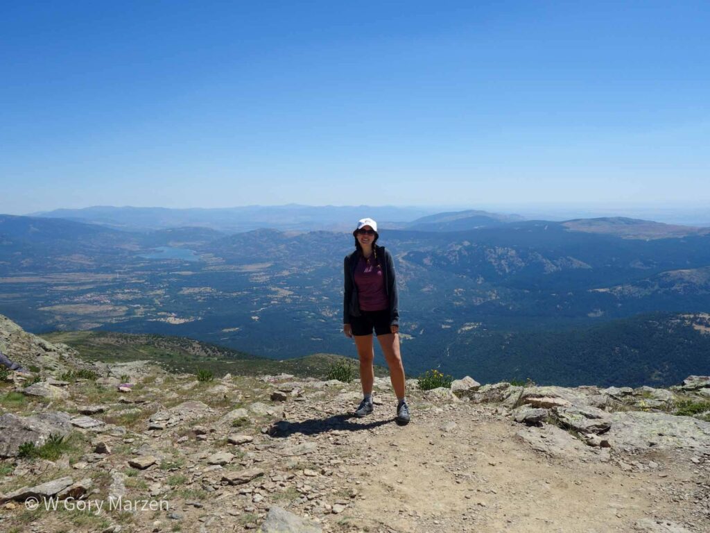
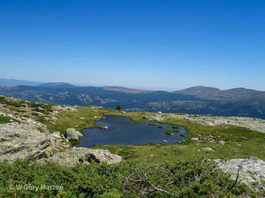
Peñalara – Laguna de los Pájaros
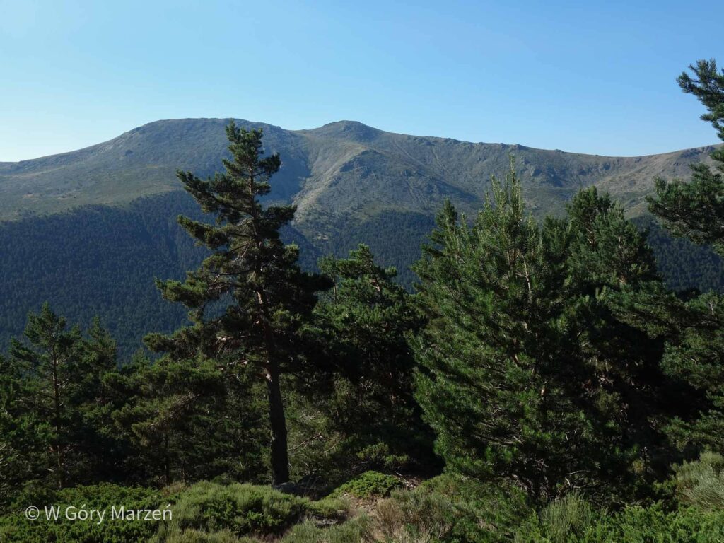
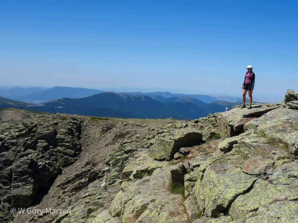
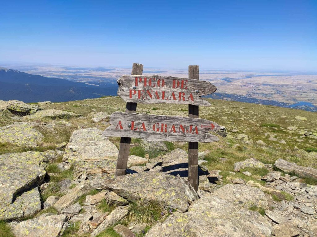
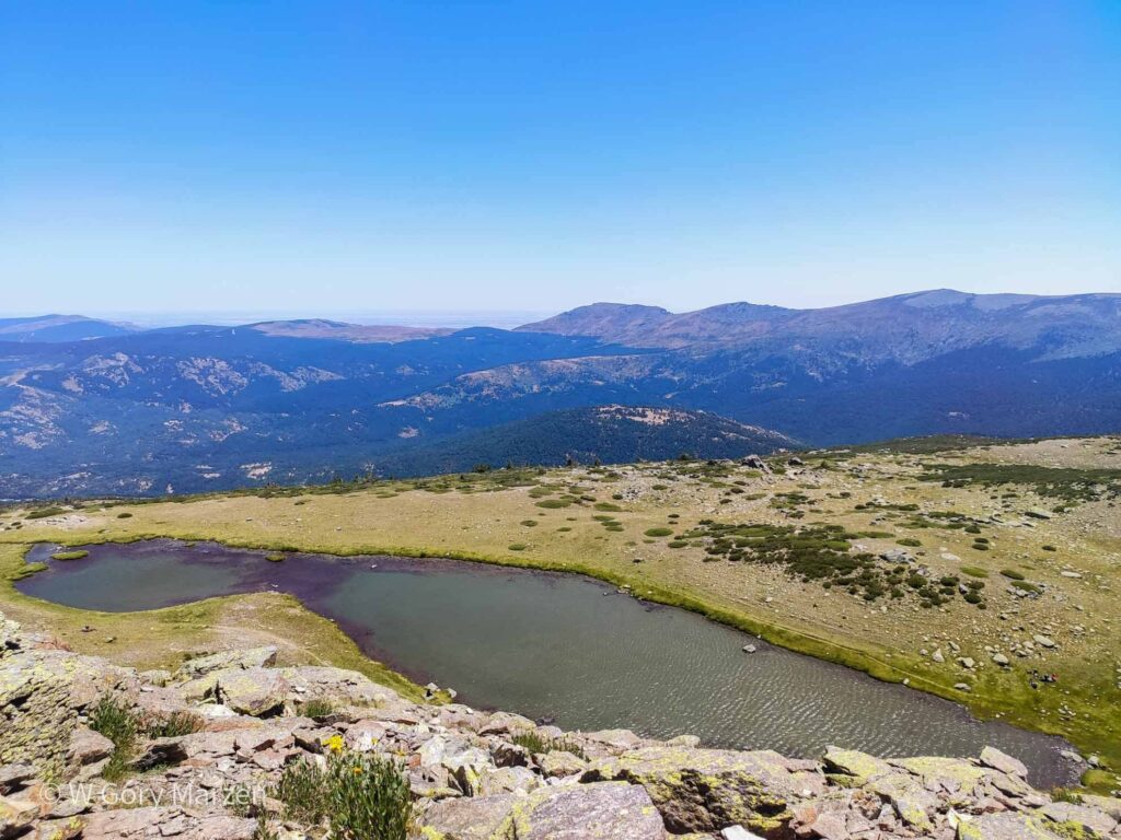
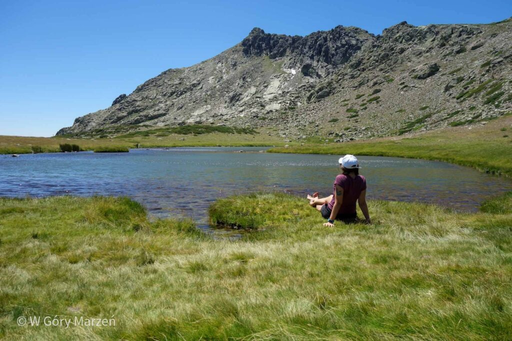
From the top we have two options for hiking: returning the same route to Puerto de Cotos or hiking along the rocky ridge to Laguna de los Pájaros. The first version is quite simple and recommended for people less experienced in the mountains. The ridge road to the lake leads through a rocky ridge and the summit of Risco de los Claveles (2366m above sea level) and is not so straightforward. There are moments when you have to help yourself with your hands, and on both sides of the abyss. The trail is not well marked and you have to look out for the direction of the route and well-come out stones. To reach the lake we need to walk 1.7 km and about 240m down.
At the lagoon there is a beautiful view of the top of Risco de los Claveles and green grass ideal for rest. The place is very quiet and even at the weekend there are only a few people there. Unfortunately, you can not bathe in the lake.
Laguna de los Pájaros – Puerto de Cotos
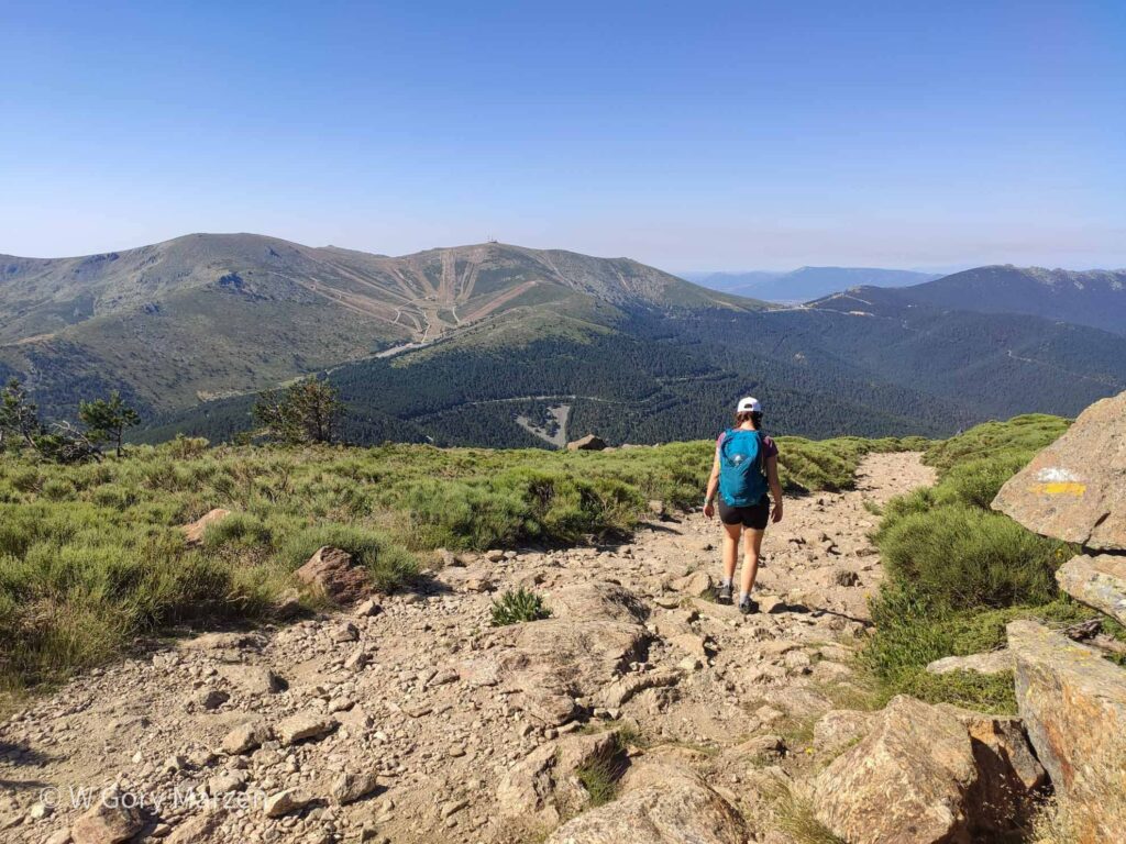
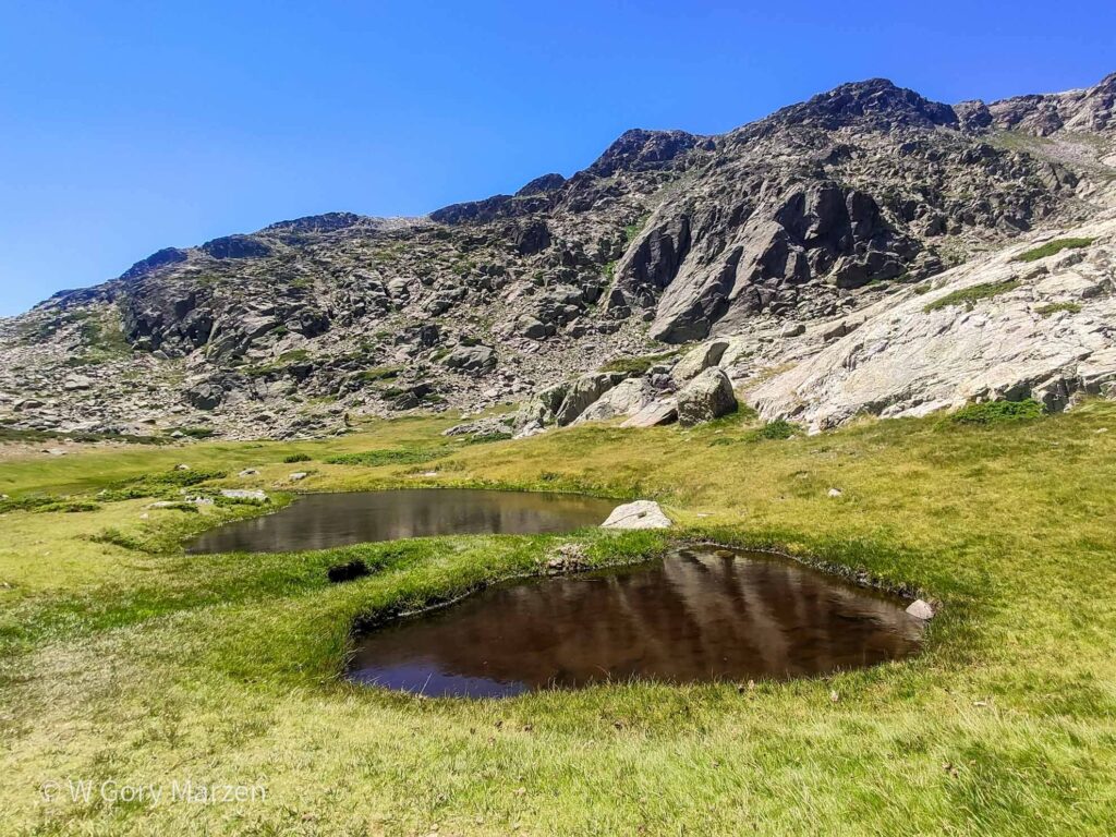
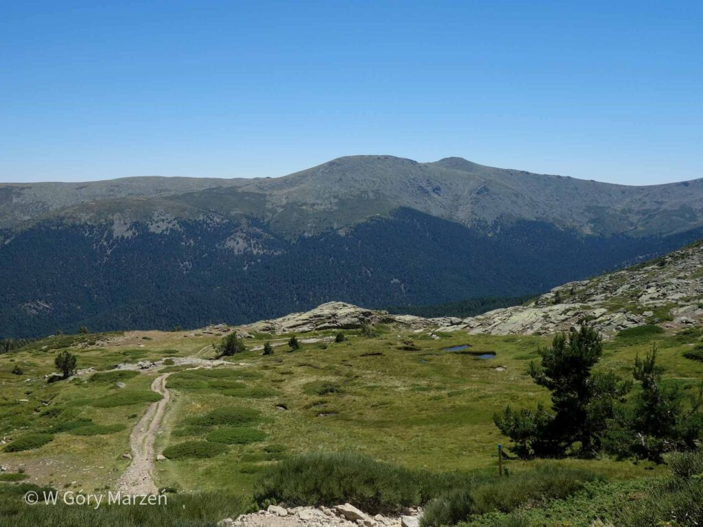
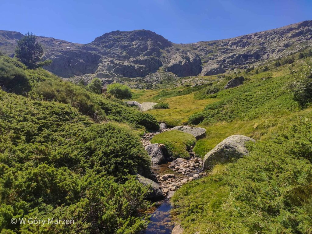
The road from the lagoon to the parking lot is already very gentle. There are moments completely flat, as well as a few descents after 100-150 meters in height. On the way we pass several beautiful lakes and viewpoints. The grass is beautifully green, encouraging to relax. The mountain protects us from cold and strong wind and we can bask in the sun. During the hike, apart from the point by the parking lot, there were no sources of water. Only at the end of the hike we encounter a small stream with cold, juicy water. The perfect place for another stopover.
After resting, we move the last piece through the beautifully fragrant coniferous forest, which protects us from the afternoon sun. We immersed ourselves in nature so much that we reach the parking lot perfectly on the penultimate bus, which departed at 17:20. According to the summer schedule, buses depart at 15:20, 16:20, 17:20 and 18:20.
Now we are going to go back to Madrid. On the way we pass through small villages and the bus completely fills up. Unfortunately, at the last stops before Madrid, he is no longer able to take new passengers. We reach Madrid at Moncloa station around 19:30.
All in all, the road to the highest peak of the Guadarrama range is the perfect idea for a day trip from Madrid. The trail is easily accessible, even in the middle of summer (in winter, the range is covered with a thick layer of snow). I highly recommend it if you will be in Madrid and want to connect with the local nature 🙂
To see more things to do in Madrid check this post.
If you find this post useful and feel like supporting my activities, you can give me a coffee by clicking on the link below. Thank you!

Zuzanna
Hi! My name is Zuzanna, I am from Poland. I love traveling, hiking and doing yoga. Spain is my favorite destination, I walked several Camino de Santiago roads there. I created this blog to share my travel experiences.
You May Also Like
Malta, Gozo and Comino – the most interesting places in Malta
Lofoten and Senja – what to see in Lofoten in Norway